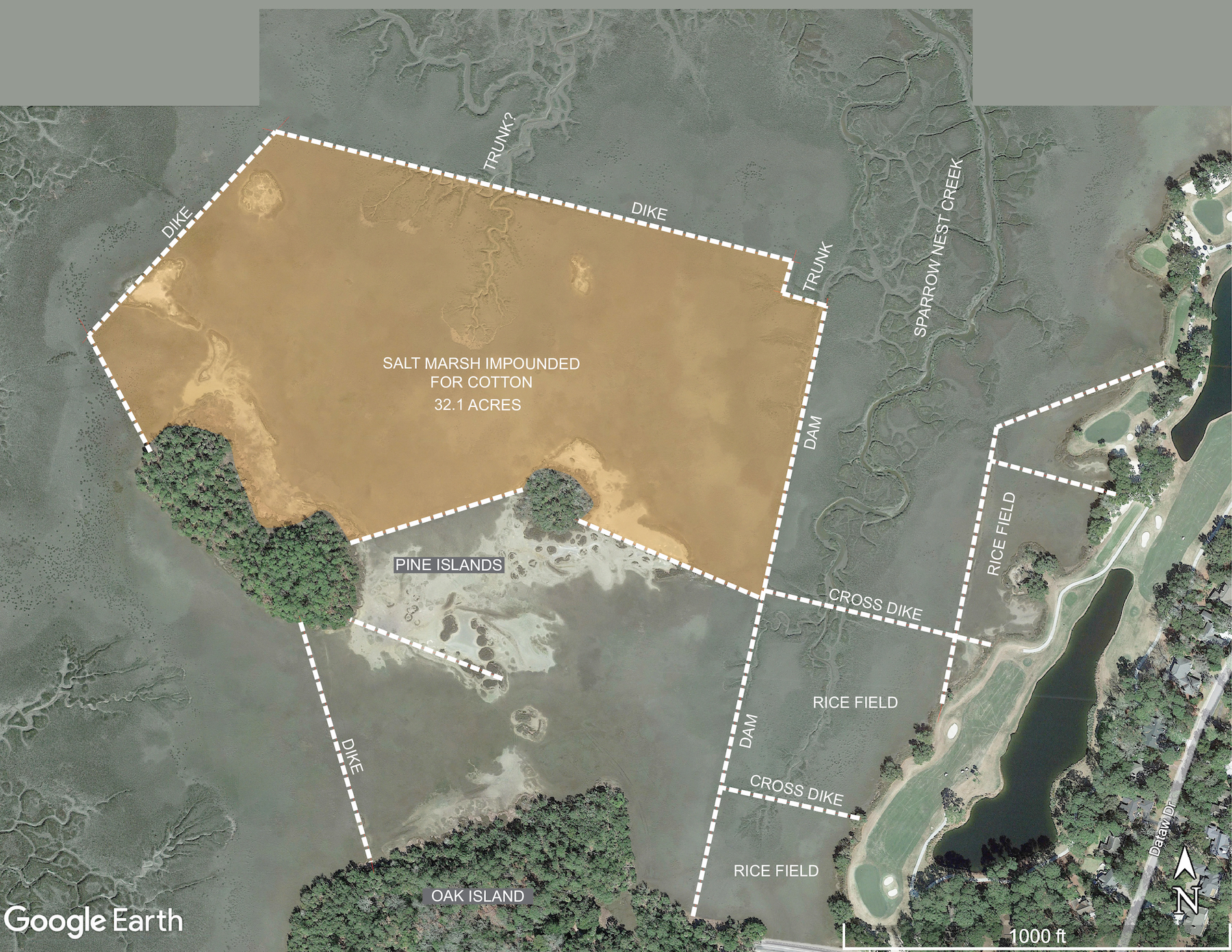
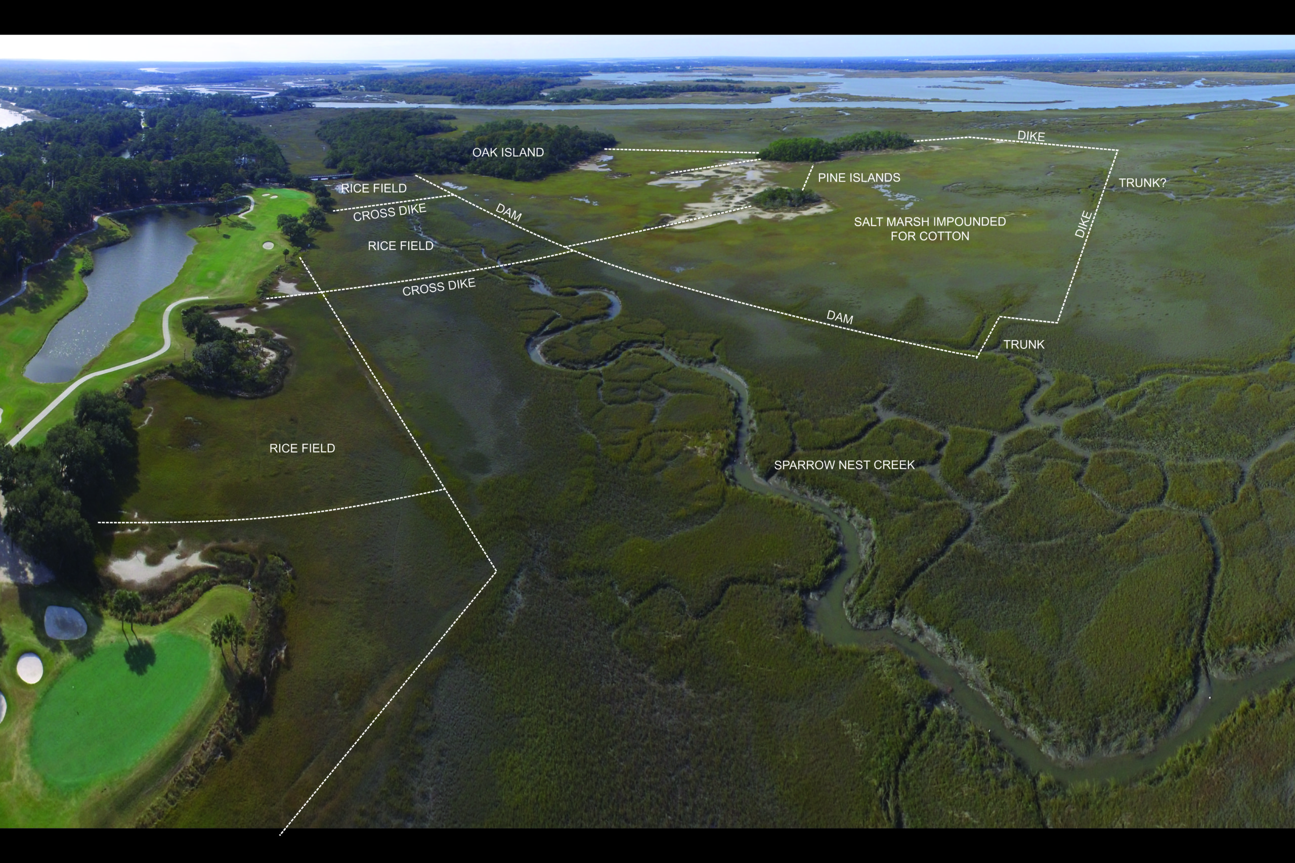
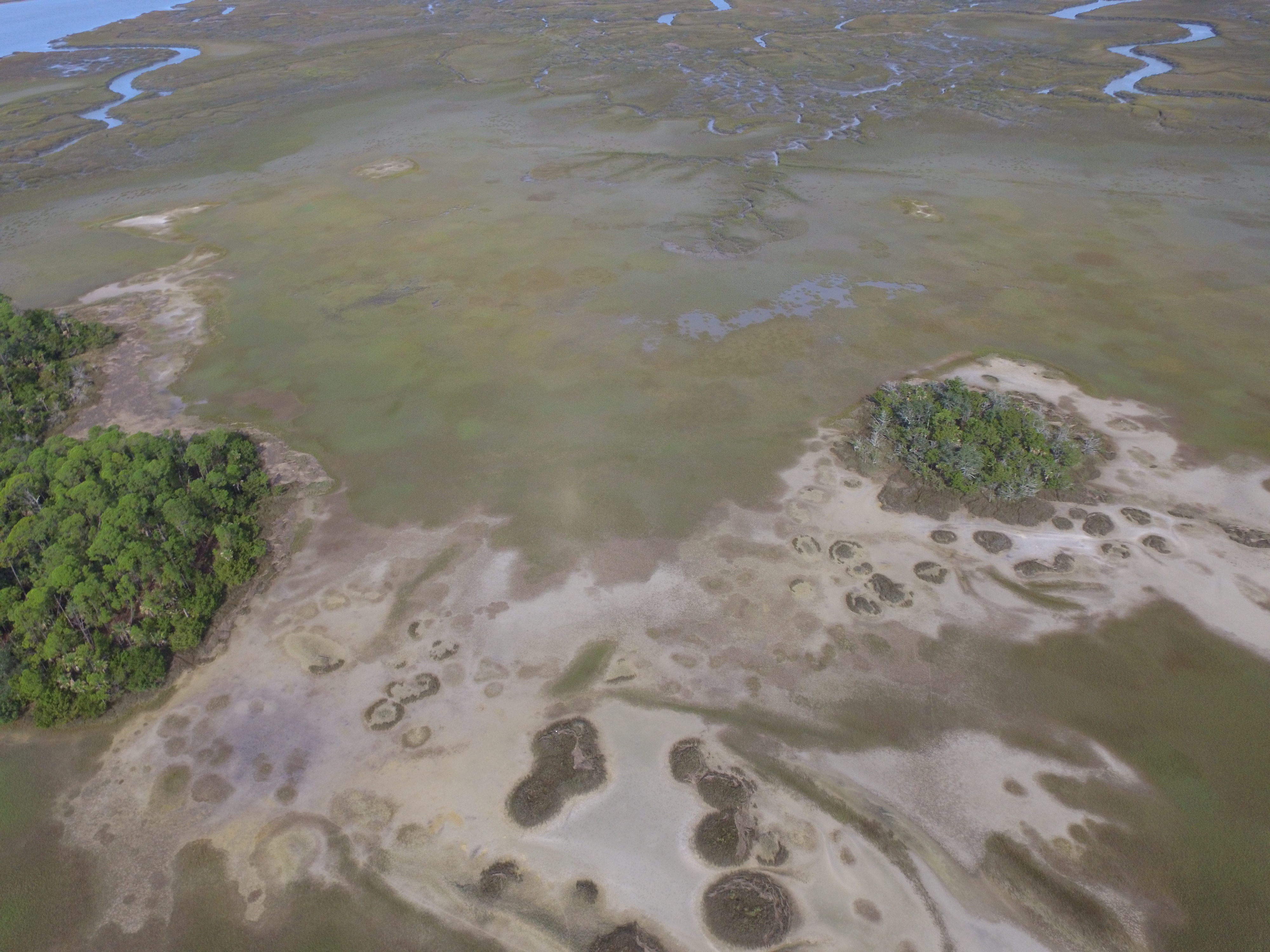
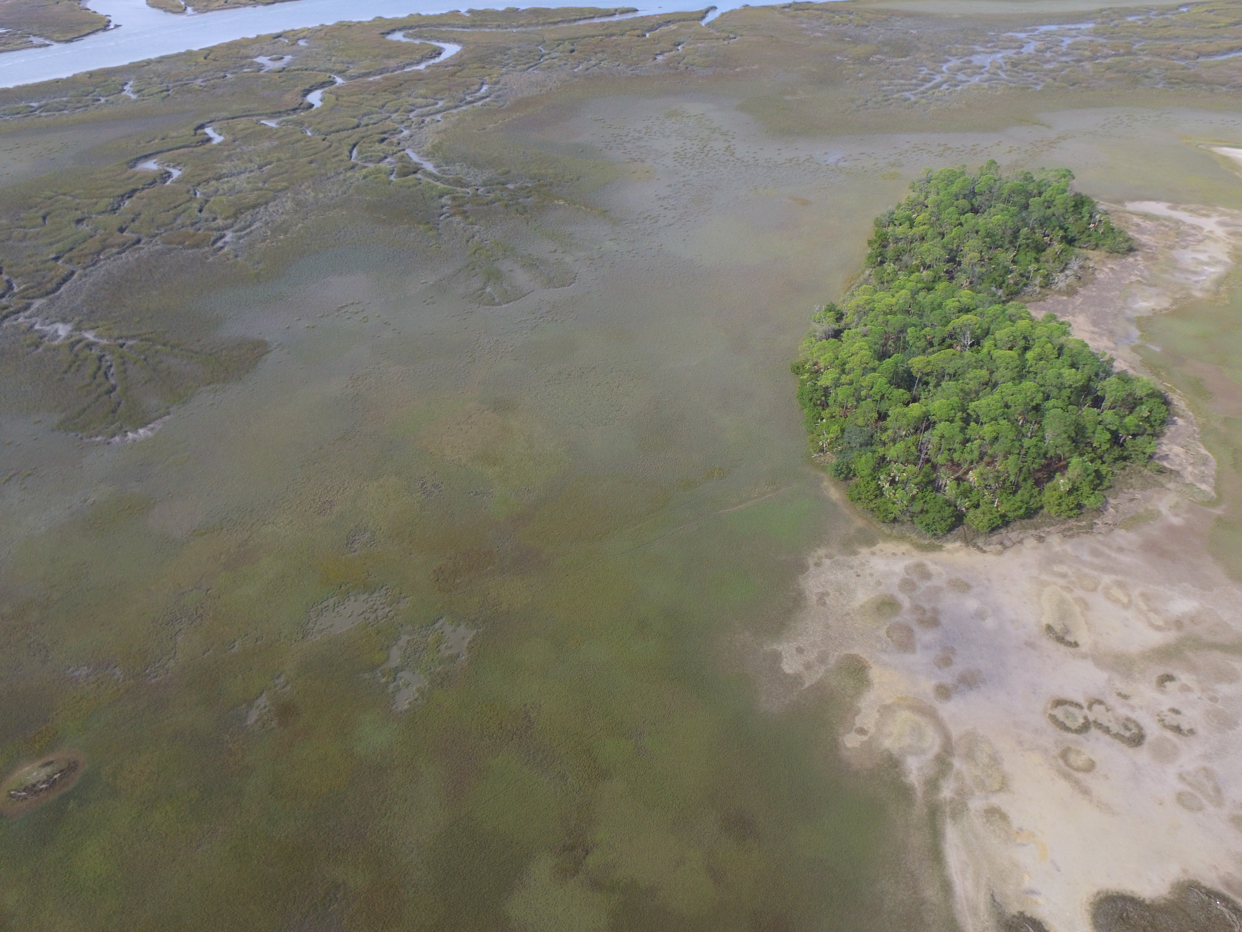
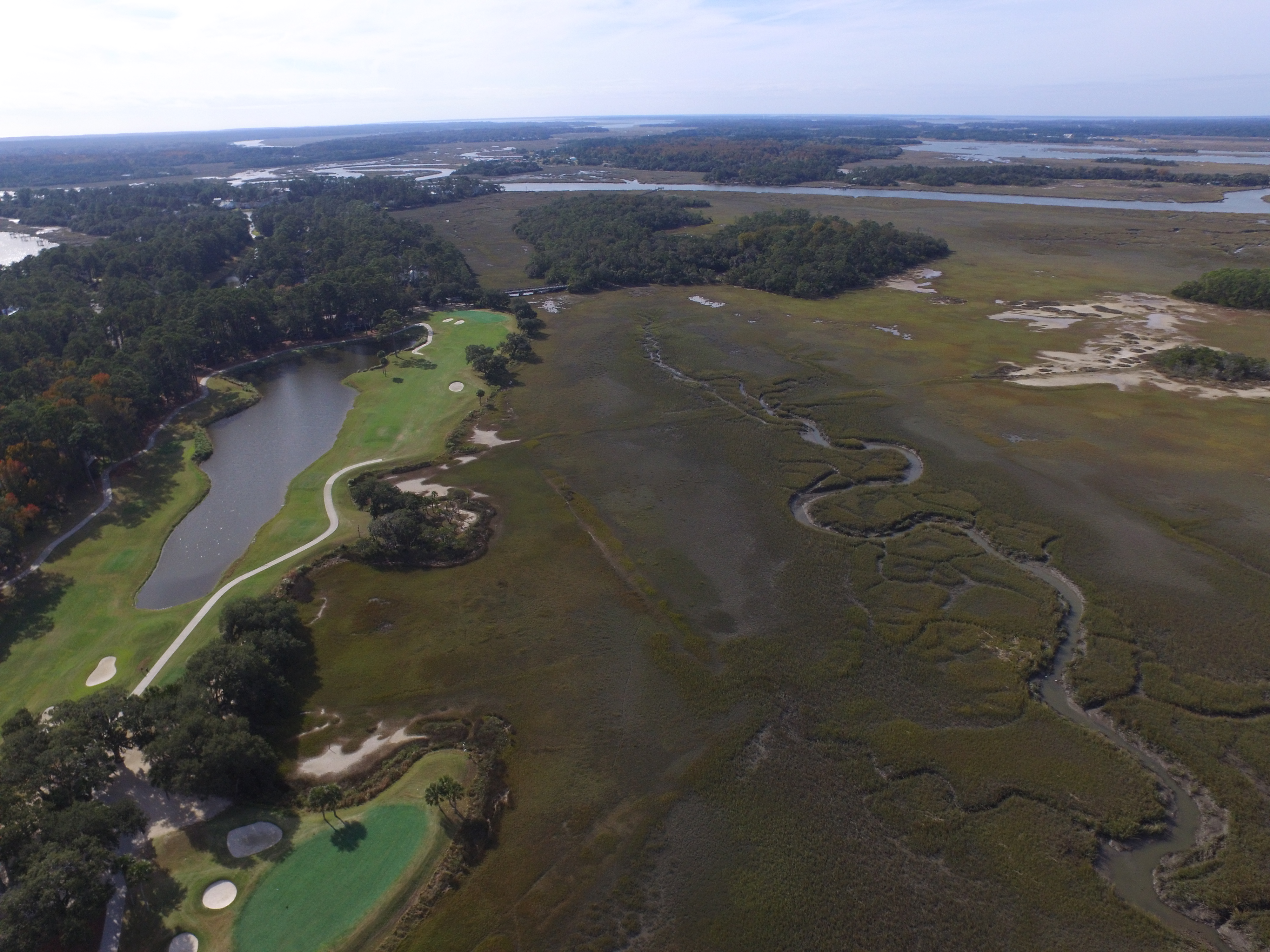
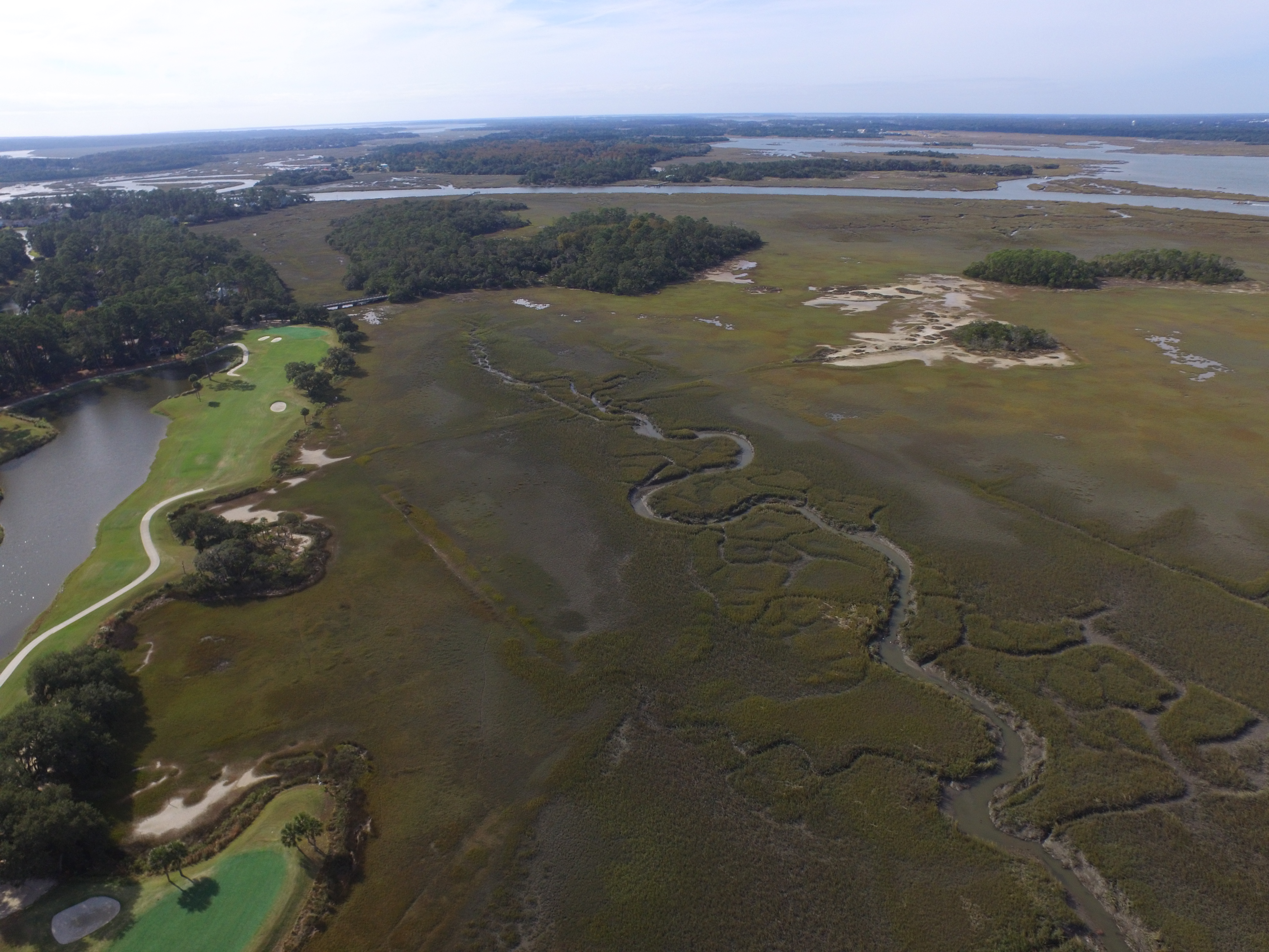
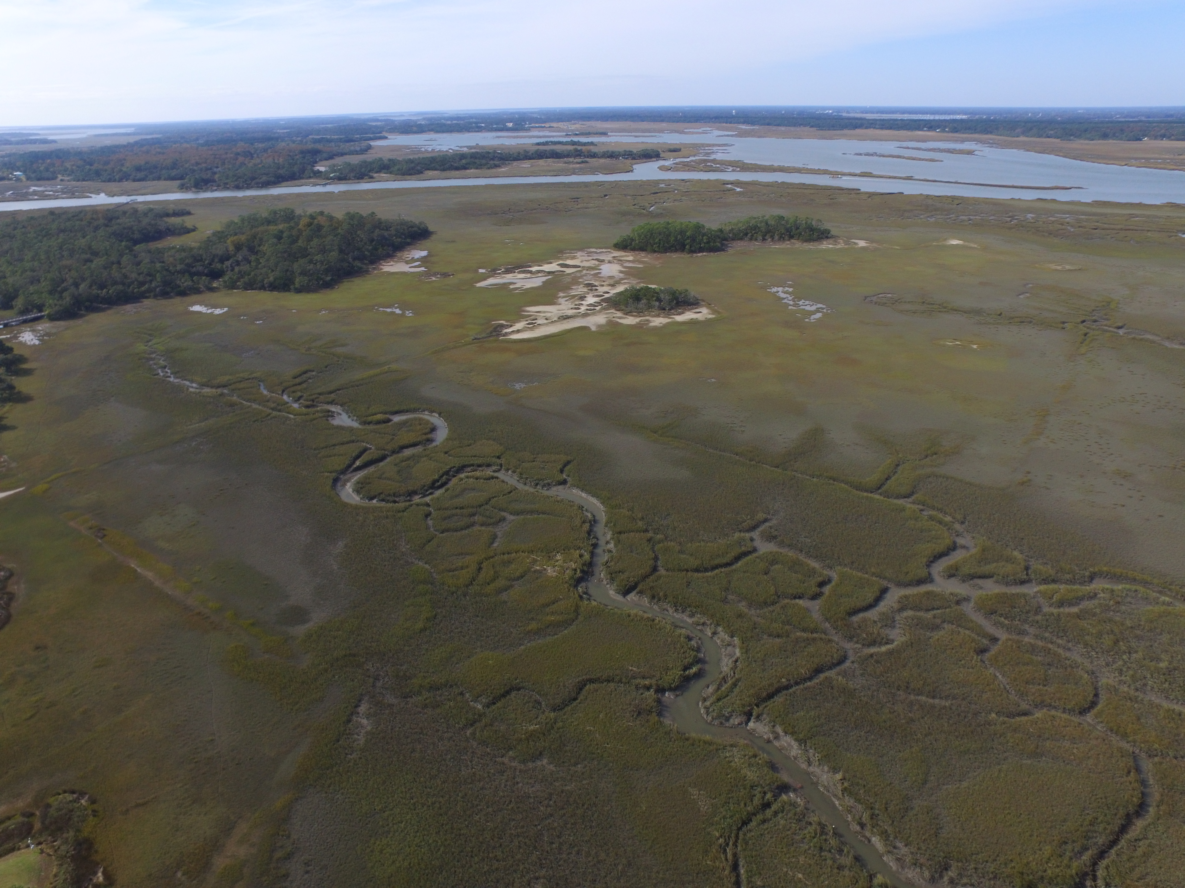
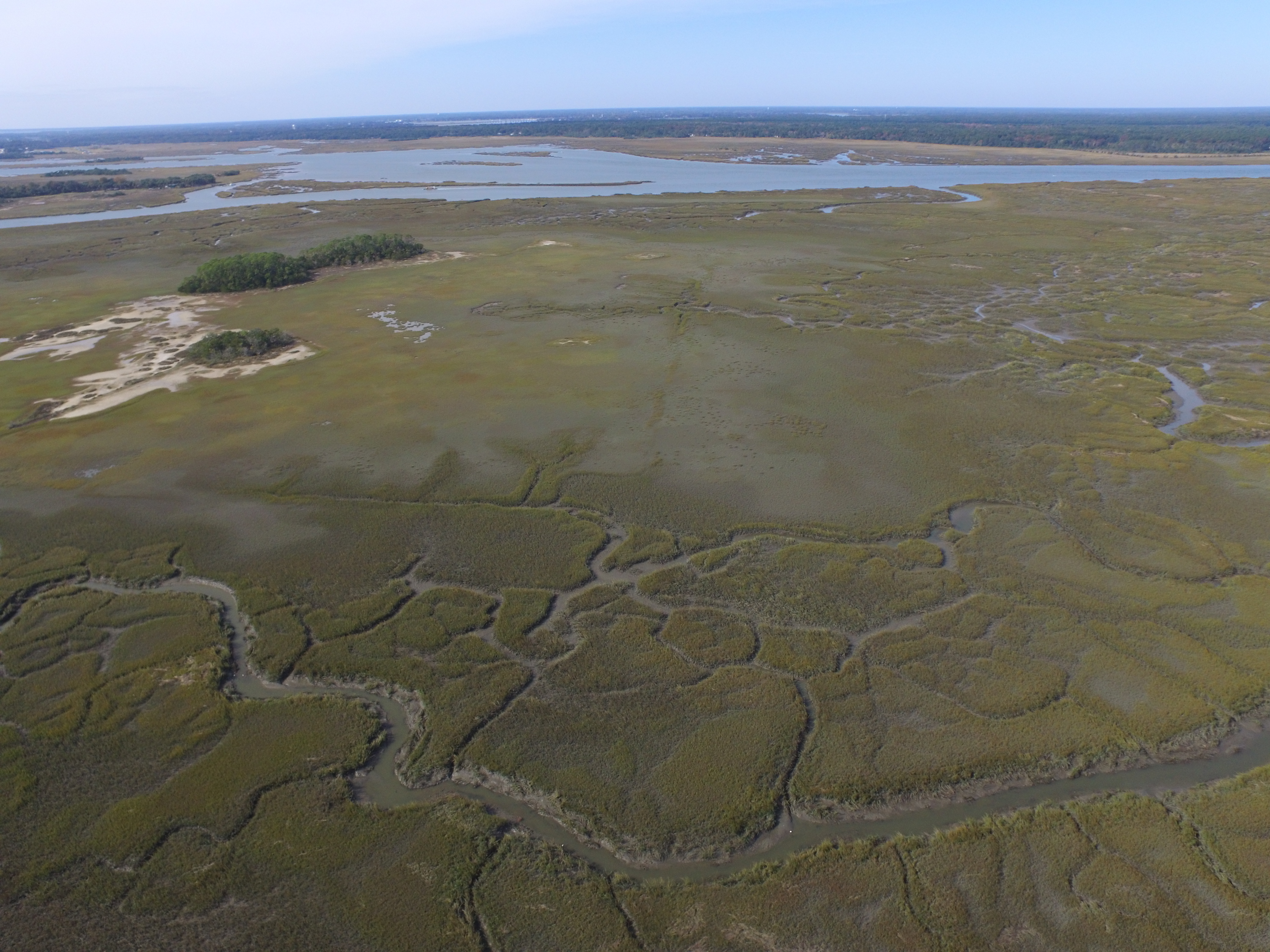
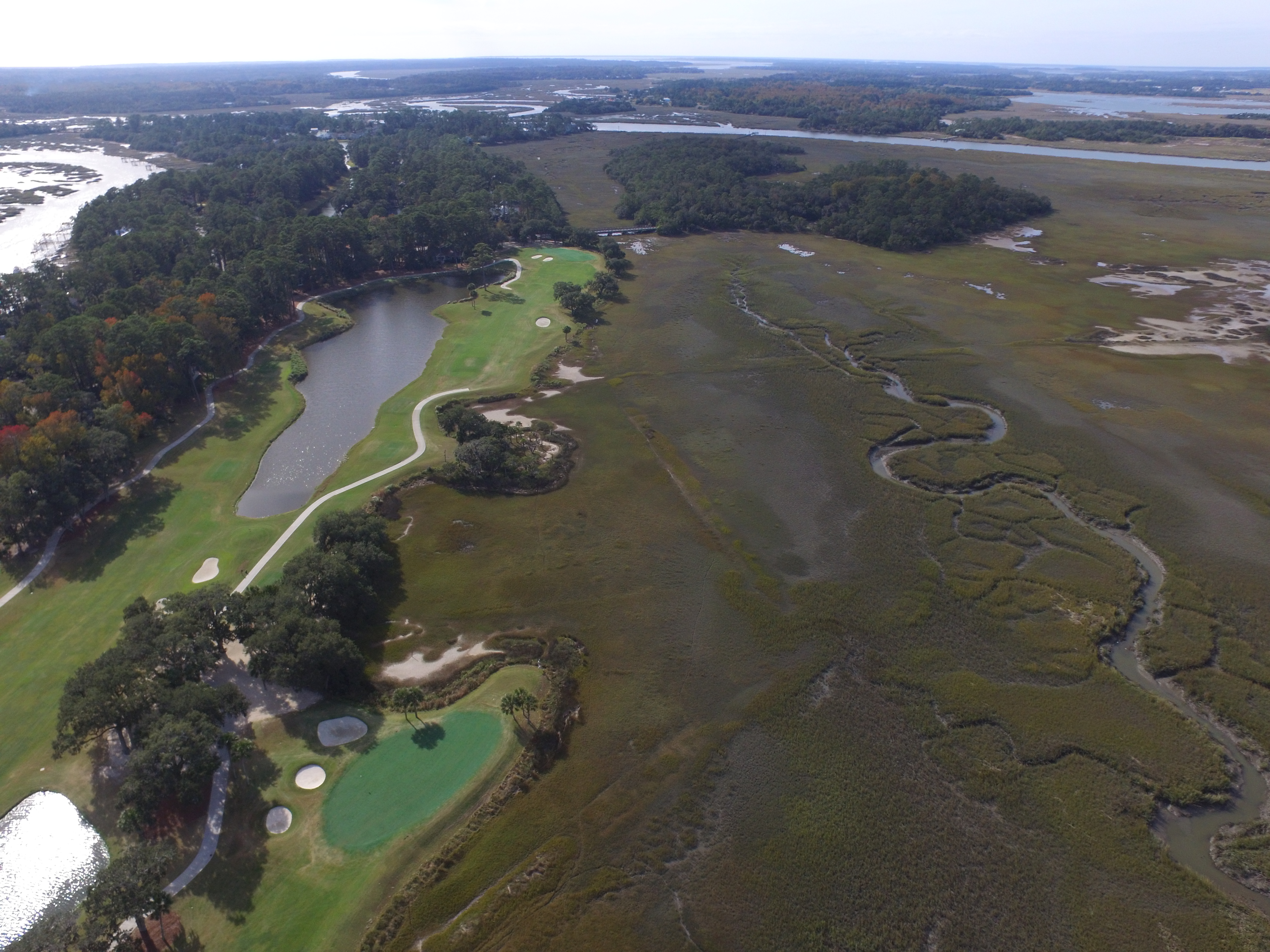
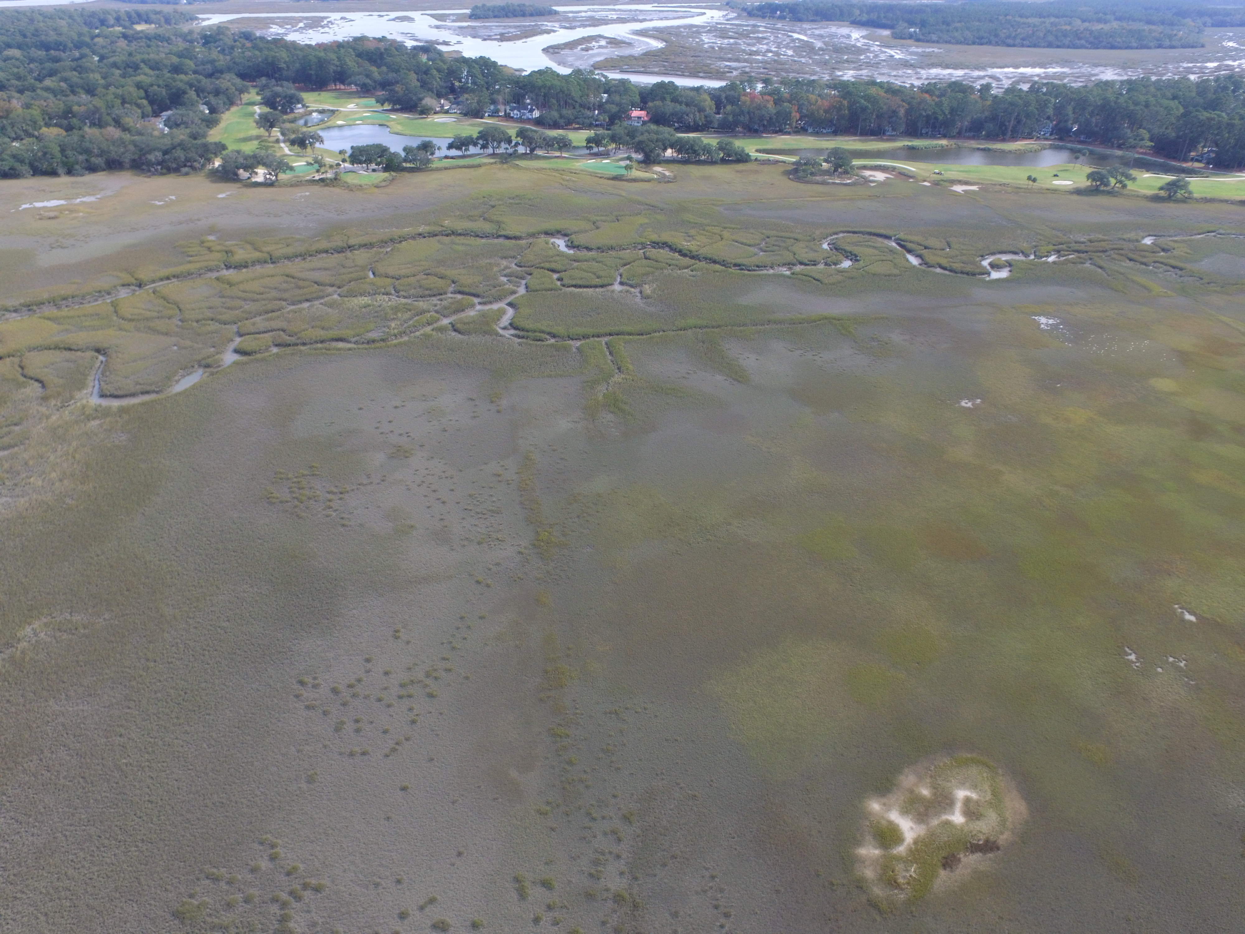
The Dataw Historic Foundation engaged Colin Brooker (Brooker Architectural Design Consultants) and Benjie Morillo (Frederick and Frederick Architects) to conduct a drone survey of historic features around Datha Island, particularly the cotton dikes mentioned in documents by Rev. James Julius Sams (1826-1918). These dikes were created by B.B. Sams, M.D. (1787-1855), in an attempt to obtain salt land for cotton planting. The drone flights, which took place on November 21, 2022, during low tide, aimed to document historic impoundments and remnants of earth dikes near Oak Island. The findings were compiled into a report delivered to the Dataw Historic Foundation in January 2023. This survey provides valuable insights into the historical landscape and efforts to cultivate cotton and, to our surprise, rice in the region.