Sams Family Cemetery – Datha Island, South Carolina

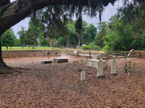
I told you recently about the tripartite plantation house of BB Sams and his wife Elizabeth (Fripp) Sams. These ruins are always the highlight of the DHF docents’ tours to residents and visitors. The other site of interest is the Sams Family Cemetery, a short distance from the ruins. I wrote about this 200-year-old cemetery on Datha Island just two years ago, and there has been an exciting development. Synthesizing the research Teresa (Winters) Bridges (Sams descendant) has done in the last two years with the results of the ground-penetrating radar survey performed in 2005, I can say with confidence that her ancestor John Sams (1769-1798) is buried here on Datha.
BB Sams and his Tripartite Residence (built after 1760 – burned about 1880)

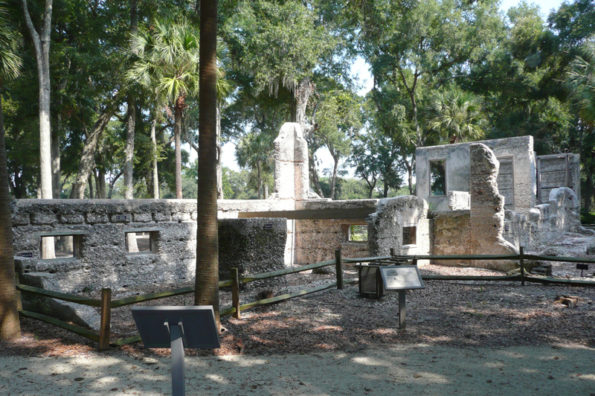
Recently, tour requests have begun to pick up. So I thought it would be a good time to introduce you to the winter home of Dr. BB Sams (1787-1855) and his family. Their tripartite house is one of several tabby structures in the Sams Plantation Complex Tabby Ruins, accepted on the National Register of Historic Places on March 4, 2011. In the antebellum period, and the sea islands of Beaufort in particular, nearly all planters had a summer home and winter home. The summer home is where they lived in the hot months to get away from their plantation(s) and the diseases associated with heat, humidity, and bugs. In summer, they went to their homes in  Beaufort or St Helenaville. Summer was also the prime time of the year for socializing and for children to be tutored. In winter, the planters lived in their plantation homes. So the ruins you see today on Dataw Island are of Dr. BB Sams winter home and yard.

On the Map

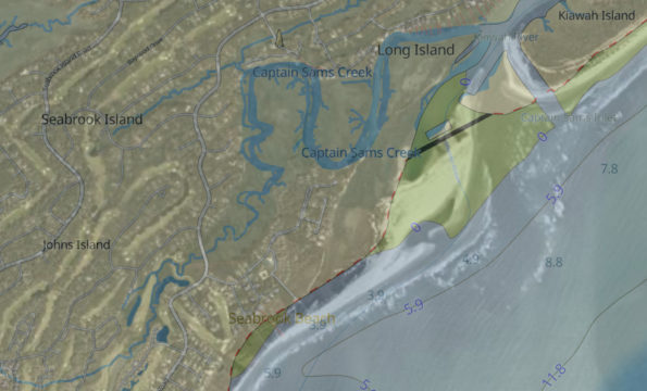
The theme this week is “On the Map.” I am starting my journey to find places named after SAMS descendants of William and Elizabeth SAMS of Dataw Island (i.e., toponyms.) The name SAMS presents the familiar genealogist’s challenge, so generic it’s easy to find, but hard to determine if it’s the SAMS you want. Therefore, I started local, where we have some certainty of places named after ‘our’ SAMS and began working my way around the Southeastern U.S. I discovered some unexpected places ‘in the family,’ so to speak, and one place with a heavy SAMS fingerprint on it right here in Beaufort, SC.

This Old House – a Photo

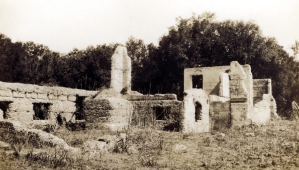
The theme this week is “This Old House – a Photo,” not related to that great PBS program, but the Dr. B.B. Sams house. In my week 12 and week 15 articles, I described the Sams Tabby Complex, with an emphasis on the house, the most distinctive feature of the ruins on Dataw Island. One of the world’s foremost experts on tabby construction, Colin Brooker, has just published the definitive book on tabby architecture in Beaufort, South Carolina and the Sea Islands [Brooker]. The Dataw Historic Foundation will be writing a book review soon, but in anticipation of that, I thought you might be interested in seeing the earliest image ever taken of the BB Sams house.

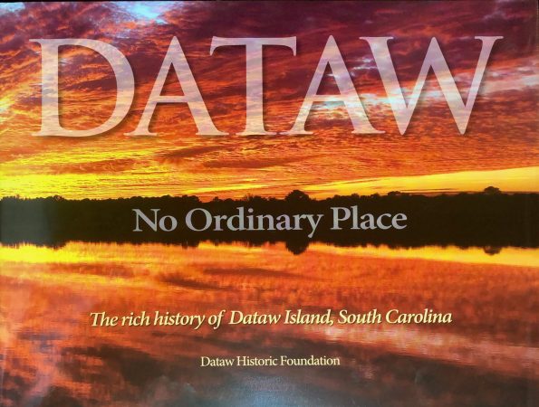
Dataw Island: No Ordinary Place

From prehistoric times to present day, an island rich in history, mystery, and stunning natural beauty. Experience the beauty and history of Dataw Island, South Carolina in this exquisite, limited edition, historical, coffee table book. With over 200 images – from archaeological findings to Dataw’s ruins and its breathtaking natural vistas, you will enjoy and learn the depth of history that makes Dataw the special place that it is today.

Sams Plantation Complex Ruins circa 1930

This gallery contains the few pictures available of the ruins on Dataw soon after Kate Gleason bought the island in 1927. [gallery_bank source_type=”gallery” id=”22″ layout_type=”masonry_layout” alignment=”left” lightbox_type=”foo_box_free_edition” order_images_by=”sort_asc” sort_images_by=”sort_order” gallery_title=”show”…